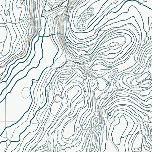
Topographic maps provide essential insights into the Earth’s surface features and processes. In this article, we explore the basics of topographic maps, how to read and interpret them, their role in revealing our planet’s features and landforms, their relation to natural disasters, the differences between topographic maps and satellite imagery, and the tools and technology used to create and analyze them.